Known as the “Register of the Desert,” Independence Rock in Wyoming is one of the most important landmarks in American westward history. This granite outcrop, shaped like a turtle shell, served as a waypoint for emigrants on the Oregon, California, and Mormon Trails. Today, it’s a fascinating historical site and a must-visit for anyone interested in pioneer history, natural landmarks, or unique outdoor experiences.
What is Independence Rock?
Independence Rock is a massive granite boulder rising about 136 feet high and stretching nearly 1,900 feet in length. Dating back to the mid-19th century, this rock was an essential landmark for emigrants following the Oregon, California, and Mormon Trails across the Great Plains.
Its name is said to come from a group of fur trappers who arrived on July 4, Independence Day, in the 1830s, though some accounts attribute it to wagon parties who aimed to reach this spot by that date to ensure they were on schedule for safe mountain passage before winter. Maybe there’s truth to both?
The rock’s cultural significance grew as it became a “register” where emigrants carved their names and dates into its surface, leaving their mark for future travelers and marking their place in the westward migration. Today, hundreds of these names are still visible, with inscriptions dating as far back as the 1820s.
Related: Exploring Idaho’s Oregon Trail Landmarks

Where is Independence Rock Located?
Independence Rock is located in central Wyoming, about 20 miles southwest of Casper, along Wyoming State Route 220.
The rock itself sits in an otherwise flat plain, making it easily noticeable from a distance.

How to Experience Independence Rock
There are a few ways you can experience Independence Rock, and it’s all about what you’re in the mood for.
One convenient option is to start at the rest stop right along the highway. You’ll find restrooms there, and after a quick break, you can begin exploring the area.

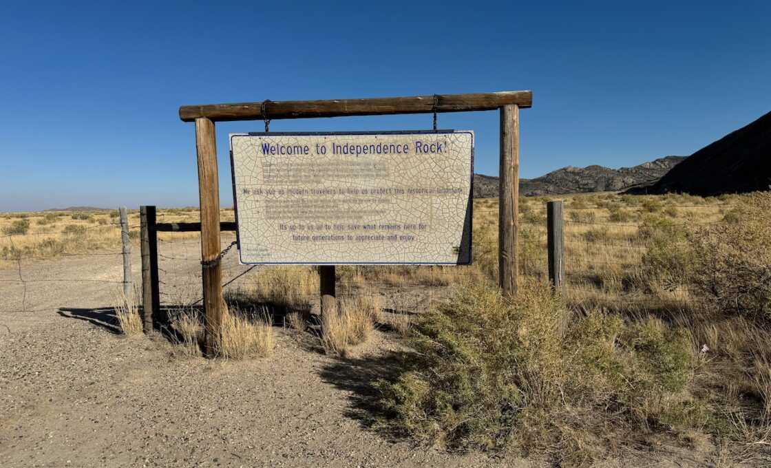
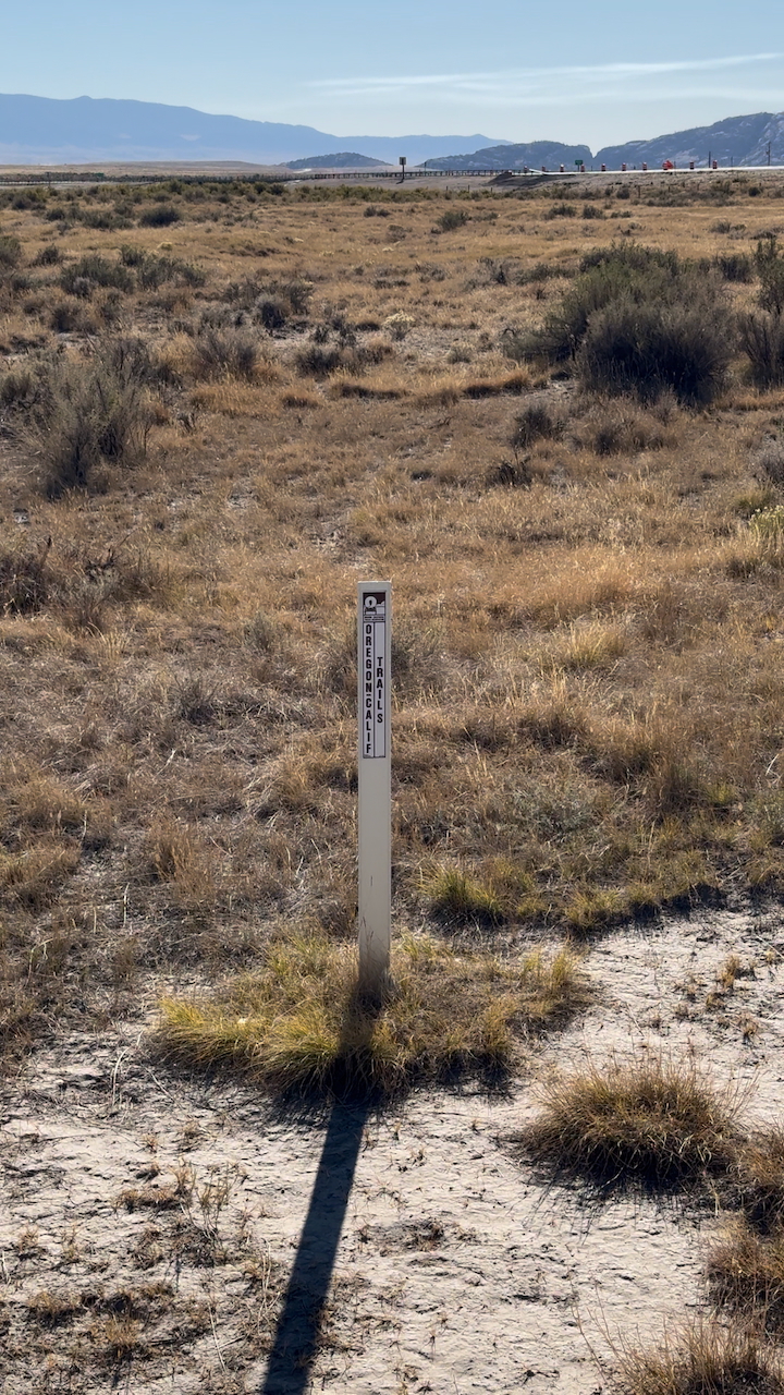
Near the rest stop, you’ll see some interesting signage and interpretive panels that give background on the rock’s history—perfect spots for a photo op. As you cross the bridge on your way to the rock, you’ll be walking over remnants of the old Oregon Trail itself, which is a unique touch of history.
Another option is to head to a parking lot that’s closer to the rock. While you won’t have access to restrooms here, this spot brings you right next to the rock and the ideal area to start your climb. This parking area is especially convenient if you’re looking to skip the longer walk from the rest stop and get straight to exploring the rock’s base and nearby engravings.
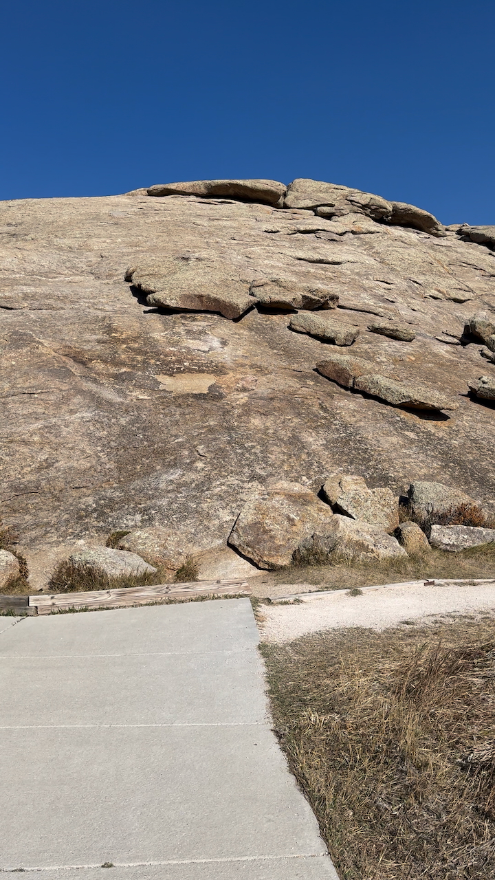
The walk to the rock from the rest area is flat and relatively short, making it manageable even on warm days. A partially paved path wraps around part of the rock, allowing you to take in the surroundings from different angles.

At the base, you can see historic engravings along with plaques that have been protected by fencing, so even if you don’t climb, there’s plenty to see from below.
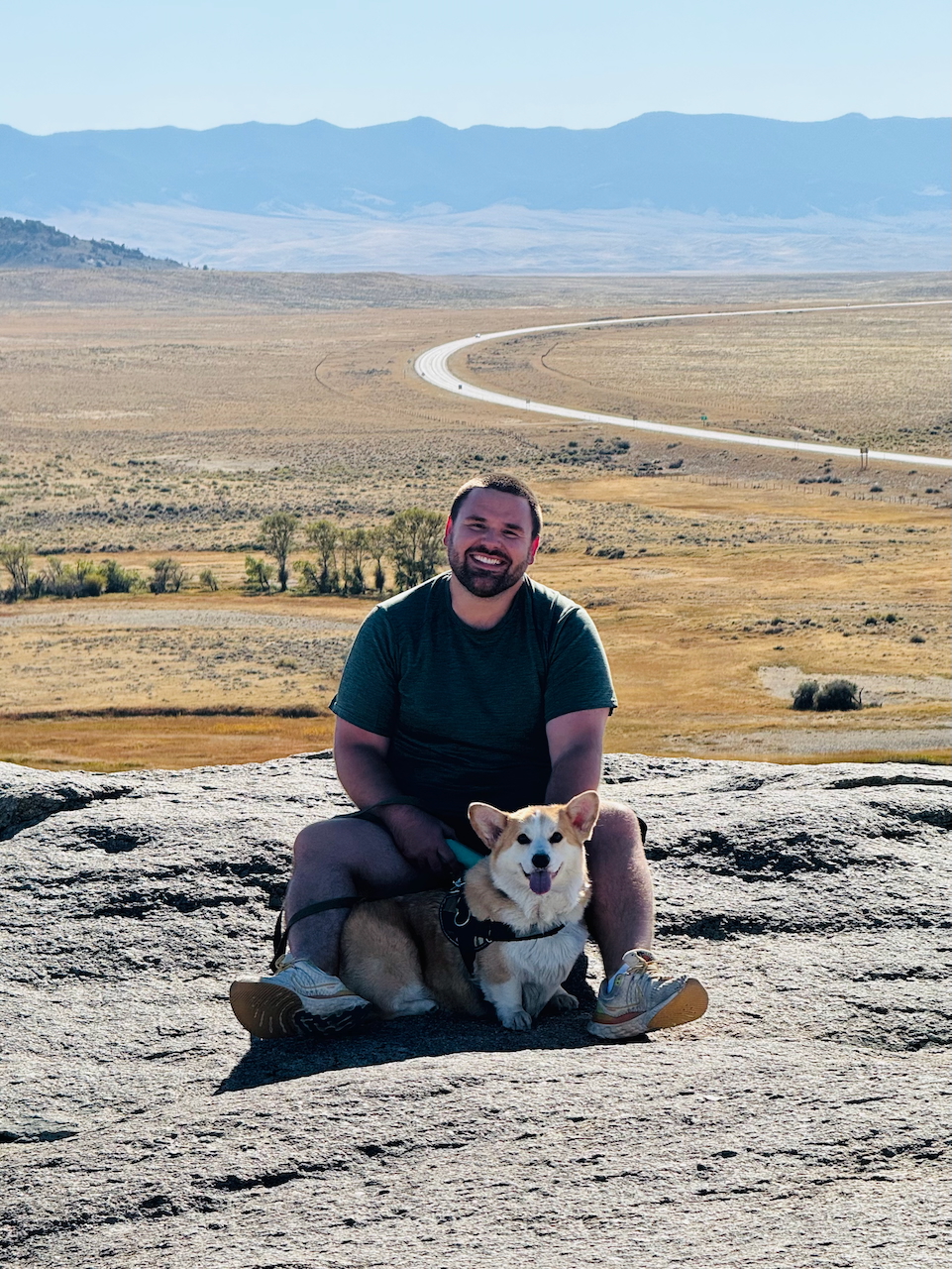
For the full experience, climbing up Independence Rock is a must, especially if you can make it all the way to the top. While you can start your ascent from anywhere, I’d recommend beginning on the north east side, where the slope is a bit gentler.
Hiking boots are ideal for better traction, but I managed it in regular tennis shoes and found the grip to be decent. Just be cautious—some sections can be a little tricky. If it’s wet, I’m not sure if you’d still want to proceed, so take your time as you climb.
The views and sense of history at the top are well worth the effort!

Reaching the summit doesn’t take long, and as you get closer to the top, you’ll start spotting the historic signatures. At first, a few carvings will catch your eye, but soon enough, it feels like they’re everywhere—etchings from different times layered across the rock.
While some inscriptions are from more recent visitors, there are markings that date back as far as the 1820s. In fact, when we visited in 2024, it was exactly 200 years since the earliest known inscription, which made the experience feel even more significant.
Reminder: Try to avoid stepping on or contributing to the wear down of those older engravings.
Once you’re up there, it’s fun to scramble around and explore the large rocks and crevices scattered across the summit. The views are incredible, too—it’s amazing to think you’re seeing the same sweeping landscapes that pioneers saw 200 years ago.

One tip: keep track of where you climbed up. Believe it or not, it’s easy to get a little turned around at the top. Some areas on the way down are quite steep, and you definitely don’t want to accidentally head down a risky slope. Make a mental note of your path up and stick to it on the way back down to stay safe.
There’s also a hiking trail you can take along the bottom of the rock which is 1.3 miles long. It takes you along the Sweetwater River, which got its name from the sugary taste noted by early explorers!
Overall, Independence Rock is worth the stop, even if you have to go out of your way.
Daniel Gillaspia is the Founder of UponArriving.com and the credit card app, WalletFlo. He is a former attorney turned travel expert covering destinations along with TSA, airline, and hotel policies. Since 2014, his content has been featured in publications such as National Geographic, Smithsonian Magazine, and CNBC. Read my bio.


